Long Island Sound Seafloor Habitat Mapping Initiative
A federal, state and academic partnership applying advanced technologies, and predictive models to collect data, characterize the ecological and physical environment, and develop map products to guide decisions for better management of the Sound
About
Learn about the background, methods, regions and research teams
Data Navigator
Access hundreds of data sets and products from Long Island Sound

Topics & Methods
Explore the range of data topics and methods used to collect a wide range of data
Products
Links to publications, reports, posters and map products

Story Maps
Interactive Story Maps that present elements of the mapping initiative
Multimedia
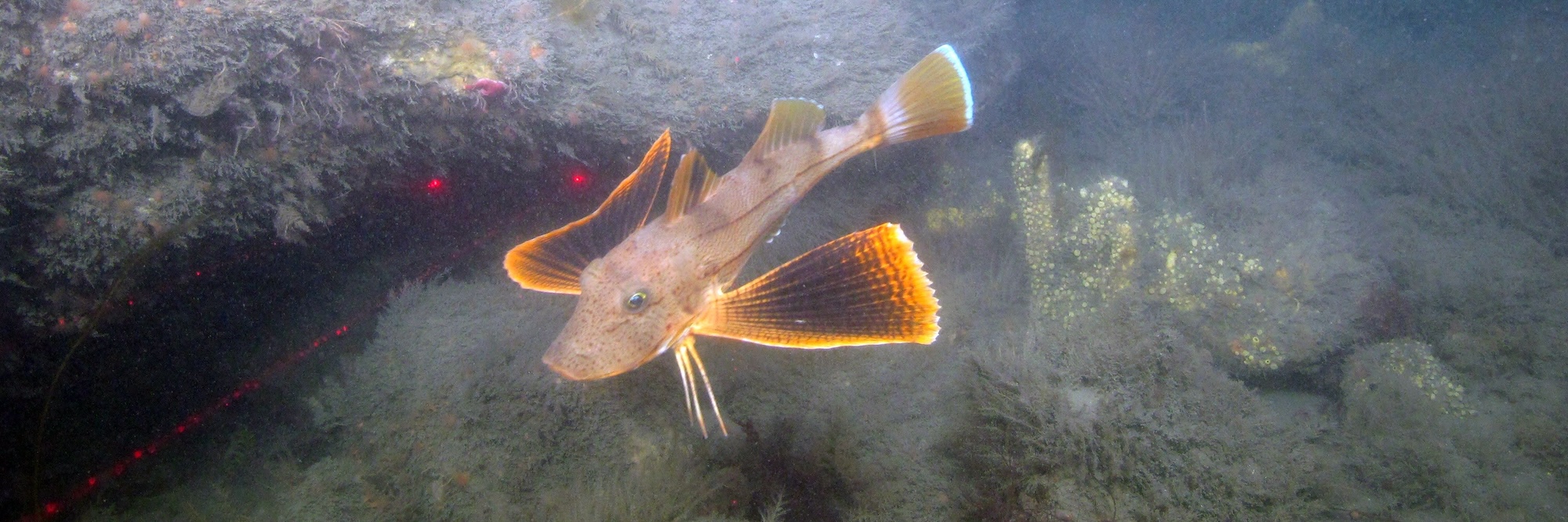
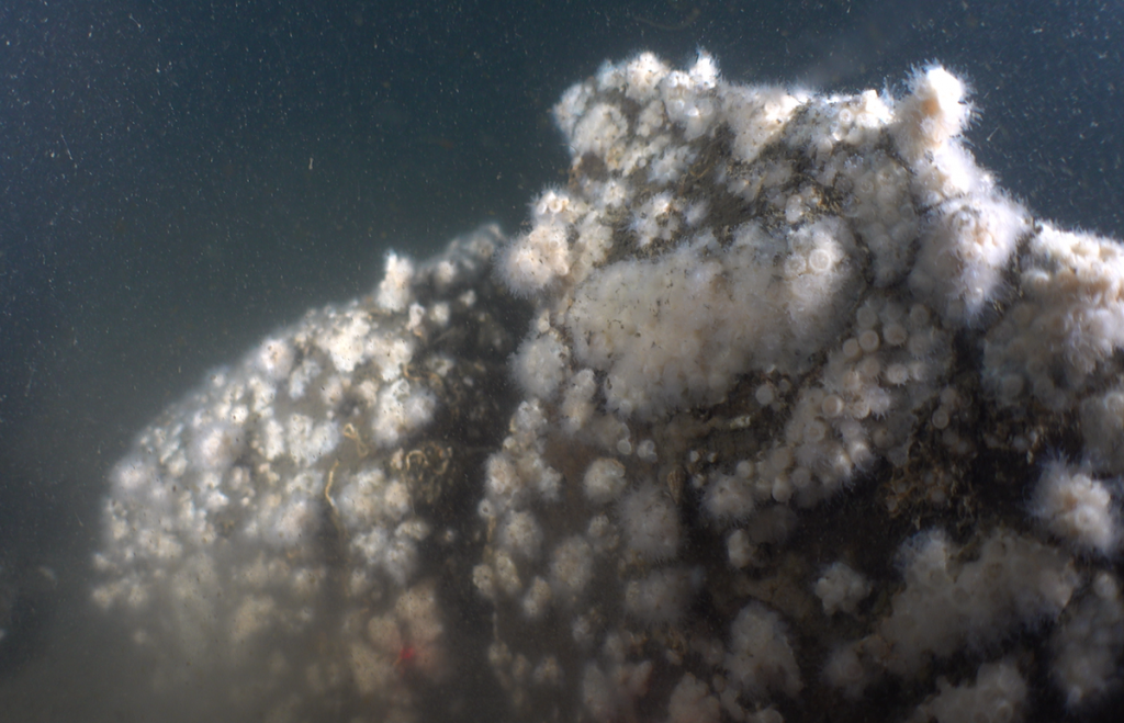
Interactive maps that present videos and images of the seafloor of the Sound
Latest LIS Mapping News
-
Lamont Team Completes Sediment Sampling
In March 2026 a team from Lamont-Doherty Earth Observatory of Columbia University and CUNY Queens College New York collected a series of short sediment cores in the Central Long Island Sound (Phase Areas 3 and 4) using the Stony Brook…
-
LIS Data Navigator Now Available
The Long Island Sound Data Navigator allows users to access hundreds of data sets and products from an easy searchable interface. Multiple pull down menus allow searches to be made and links to available data are provided. This tool was…
-
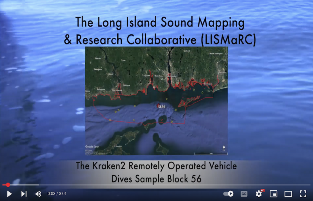
Interactive Dive Map with Video Links
An interactive ArcGIS Online map featuring the locations of some of the remotely operated vehicle (ROV) dives in the Phase IIIB area in the Fall, 2024. Clicking on the points on the map brings up metadata for each dive, including…
-
Remotely Operated Vehicle Expedition
A remotely operated vehicle (ROV) expedition was conducted during the first week in June (2-6) to the west-central area of the Sound to re-visit high priority sites that were first visited in the fall, 2024. The Boxfish Alpha ROV was…
-
Decision Support Tool Workshop Report
The Final Report of the workshop held at UConn Avery Point on April 4, 2024 is now available, and provides a summary of the recorded feedback provided by spatial data users from throughout the Long Island Sound Region on the…


