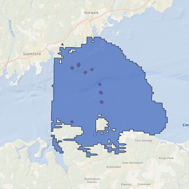
An interactive ArcGIS Online map featuring the locations of some of the remotely operated vehicle (ROV) dives in the Phase IIIB area in the Fall, 2024. Clicking on the points on the map brings up metadata for each dive, including a link to a short (2-3 minute) video of the seafloor at that location. The ROV dive sites were selected to target areas with hard bottom such as boulders and ledges and many of the sites feature the same dominant taxa such as the northern star coral (Astrangia poculata), the dead man’s fingers sponge (Haliclona oculata) and the yellow boring sponge (Cliona celata).