Overview
Welcome to the updated Long Island Sound Seafloor Habitat Mapping Initiative web site

Topics & Methods
Learn about the methods and technologies being used to map the Sound
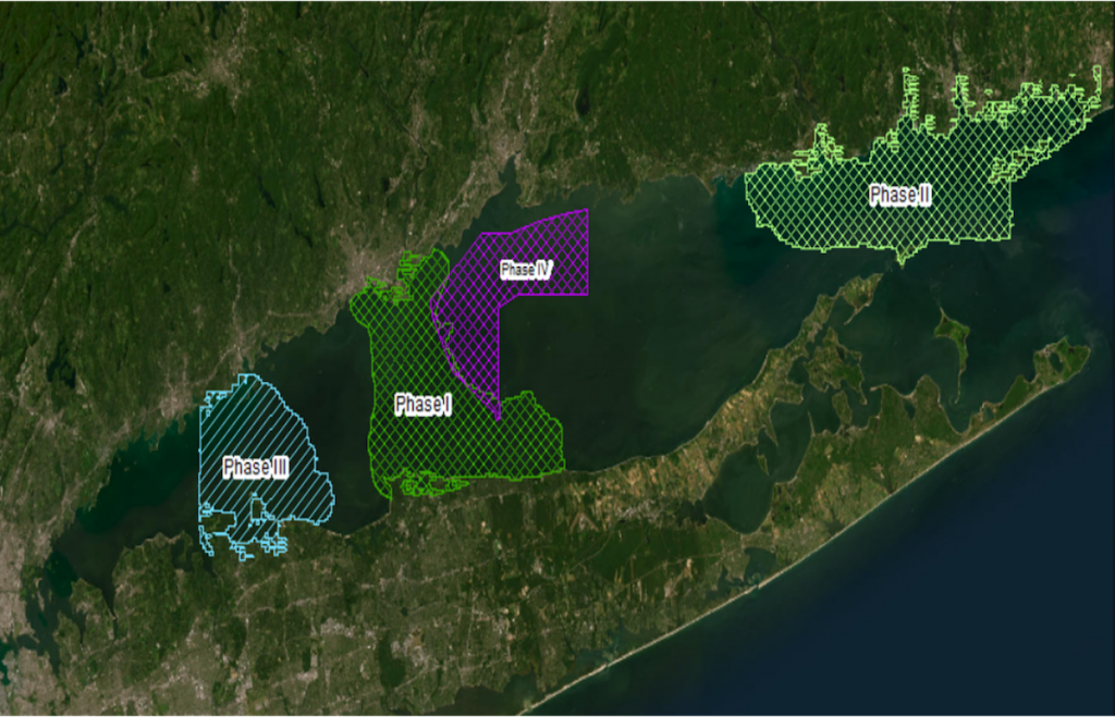
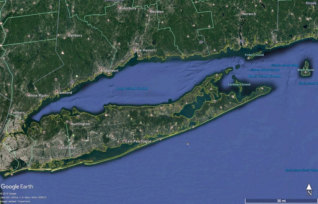
Regions
Explore the regions of the Sound that have been or are currently being mapped
Background
Discover the origins and evolution of the Long Island Sound Mapping Initiative
Why Map the Seafloor
Understand the importance of mapping the seafloor on the Sound
Team Members
The multi-institutional, multi-agency collaboration that is leading the LIS Mapping Initiative