Publication & Report Archive
Links to publications and reports generated by the Long Island Sound Mapping Initiative
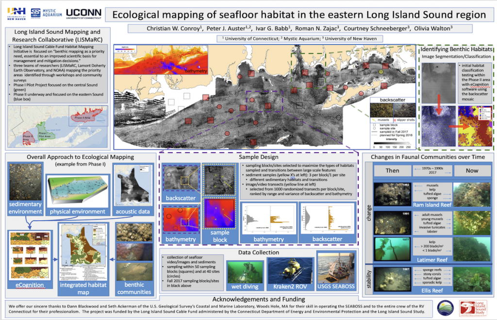
Presentation & Poster Archive
Access Posters and Presentations developed by the Long Island Sound Mapping Initiative
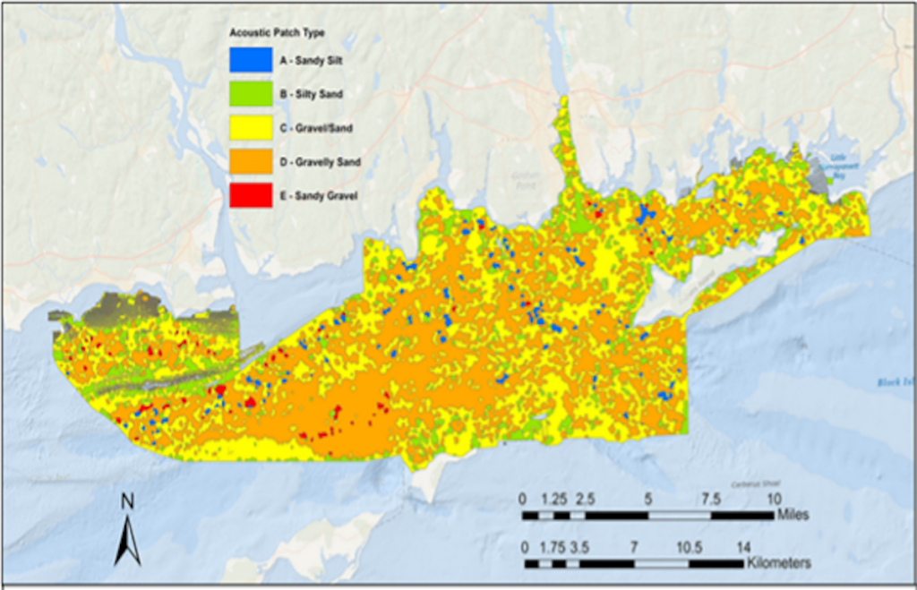
Integrated Habitat Maps
Access the comprehensive integrated habitat maps developed to aid management of the Sound
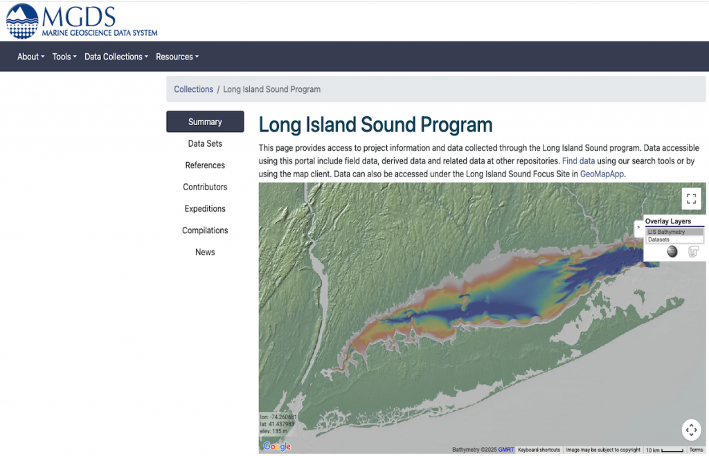
MGDS Data Archive
Access the Long Island Sound Data Archive maintained at the Marine Geoscience Data System at the Lamont Doherty Earth Observatory
LIS Data Navigator
Access the new Long Island Sound Data Navigator featuring access to over 1200 datasets related to the Sound
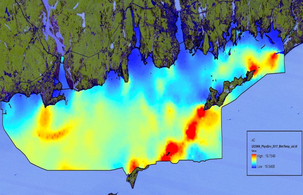
Physical Oceanographic Models
Access map product output from physical oceanographic models that predict bottom temperatures, salinity and stress