Multibeam Sonars
As the name implies, these sonar systems produce multiple beams (up to 150) of sound that are emitted from a sound projector installed into the hull of a vessel or mounted on a pole attached to the ship. The frequency of the sound produced determines the depth of water that can be measured, with lower frequencies (e.g. 12 KHz) able to penetrate full ocean depths, while higher frequencies (e.g. 250 KHz) provide greater resolution but are depth limited (i.e. 100 meters). The sound beams travel to the seafloor and are reflected back to a receiver that records the time and strength of the returning signal. The speed of sound in the local waters is periodically measured, knowing this the depth can be calculated (depth = ½ x speed of sound x time). The strength of the returning sound is determined by the nature of the seafloor, with soft mud absorbing much of the sound and harder gravel or rock bottoms reflecting much of the sound. In this fashion the signal strength becomes a proxy of the type of bottom being mapped, with convention being that the stronger signals display lighter tones while weaker signals display darker on the backscatter maps. L-3 Communications SeaBeam Instruments has developed a detailed description of the theory of operation of multibeam sonars that can be found here.pdf. Multibeam Sonar Theory of Operation. L-3 Communications SeaBeam Instruments. 2003.
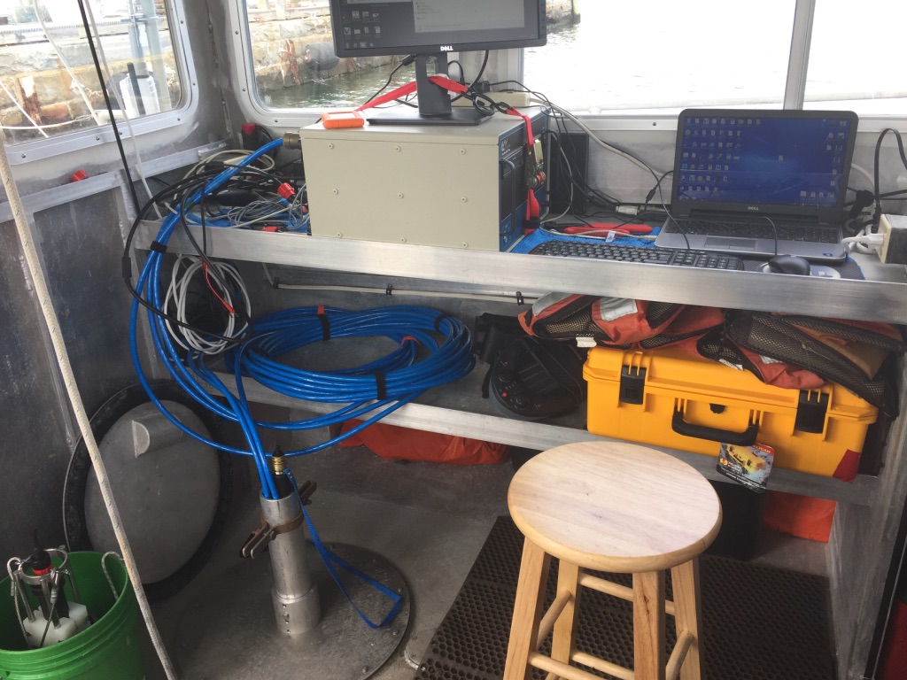
Phase Differencing Bathymetric Sonars (PDBS)
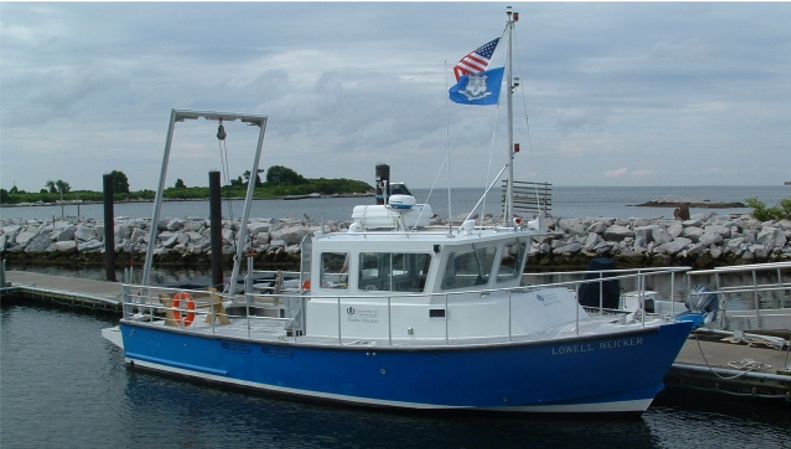
These systems work on the same principle as multibeam sonars in that they measure the depth using the travel time of sound. They differ in their configuration in that instead of producing multiple beams of sound the sonar is comprised of two side-looking transducers that each has one transmit element (stave) and multiple (eg four) receive elements. Similar to the multibeam systems the PDBS record both the sound travel time and strength to produce a side scan image of the seafloor. The PDBS side looking arrays have a 240 degree view angle allowing them to survey a very wide swath, up to 12 times the depth of the water. A description of the PDBS technology has been developed by Kongsberg’s Geoswath Plus, that was mounted on the RV Lowell Weicker used by the LIS mapping team to collect acoustic data in the eastern Sound that can be found here.pdf.